
ICRI member Wildlife Conservation Society (WCS), alongside other researchers and experts from the University of Queensland, and Coral Vita have joined together to develop a new web-based management app capable of mapping ocean water pollution almost as it happens. The program will identify real-time threats to reef systems and represents a significant step forward in arming conservation managers with the information needed to better to protect coral reefs.
The project is a collaboration led by Dr. Amelia Wenger from WCS and is funded by the Coral Accelerator Program (CAP) of CORDAP, ICRI member and an initiative of the G20 to fast-track research and development solutions to save the world’s coral reefs.
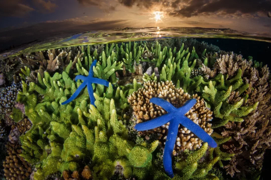
“Water pollution from land-based activities is now the biggest threat for more than 30 percent of the world’s coral reefs,” Wenger said. “It affects the food, health, livelihood and economic opportunities of millions of people.”
“Current monitoring tools only identify pollution sources within a watershed and the amount of pollution that reaches the coast,” Wenger continued. “They don’t indicate which reefs are most at risk and where pollution comes from. This makes it very hard to figure out where to implement management actions to protect coral reefs from pollution.”
The end result will be an open access, almost real-time, management app that allows people to map pollution, identify coral reefs at risk, and determine the management effort needed to protect coral reefs. Leveraging WCS’s coral reef technology platform MERMAID, the new app will help reef managers, restoration projects and funders make evidence-based decisions about pollution risk and mitigation.
“We’ll provide decision-makers, organisations, coral reef scientists and community scientists with the missing link to implement pollution management programs that have the greatest benefit to vulnerable coral reefs,” Wenger said. “Creating this mapping tool is an exciting research opportunity, but it will also be a game changer for protecting coral reefs from water pollution.”
Several groups from coral reef countries across the world are already lined up to use the tool, including those in the Bahamas, Fiji and Solomon Islands, and the WCS, University of Queensland and Coral Vita team are excited to collaborate with other coral reef conservation and restoration practitioners and government officials on co-creating a tool that will really meet their needs.
“It’s hard to provide effective management advice to our community and government partners if we don’t know where land-based pollution ends up on the reef,” said Dr. Stacy Jupiter, WCS Melanesia Regional Director. “This tool will enable us to make sure that we are engaging the reef users and rights holders who are most affected by land-based pollution so that their concerns are heard and considered prominently in land use planning decisions.”
WCS, UQ, and Coral Vita led research project has been awarded US$1.12 million in funding from CAP’s Coral Research and Development Accelerator Platform, and is expected to be completed by 2026.
SOURCE – Amended from WCS Press Release